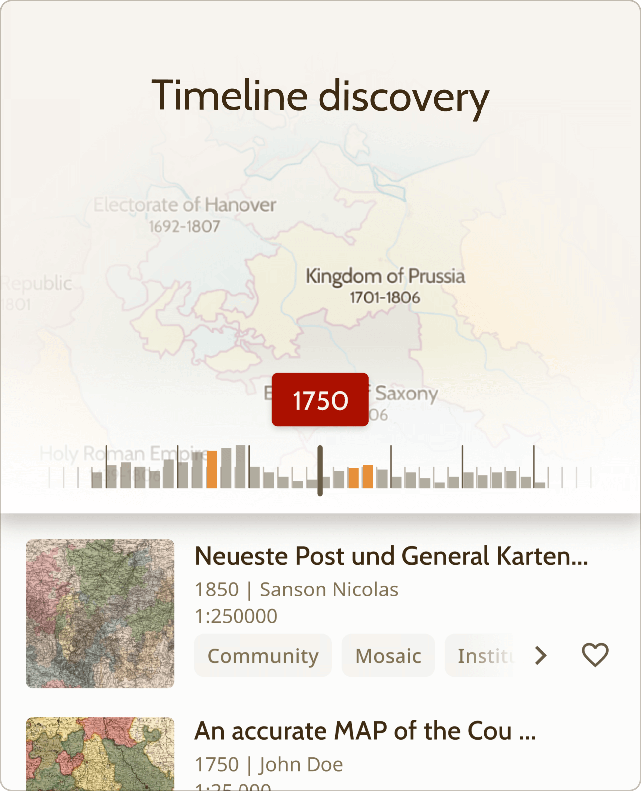
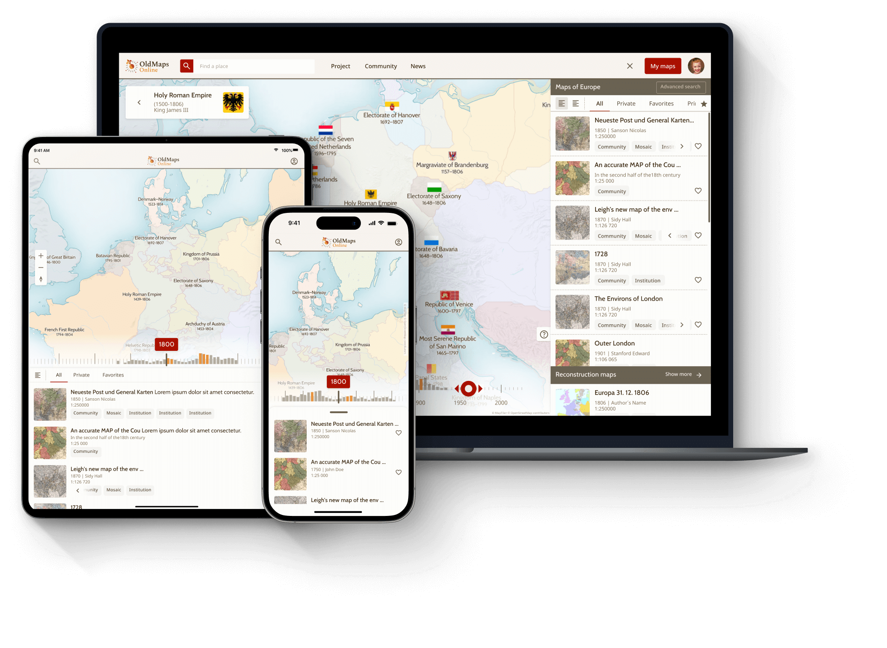
Old Maps Online Logo – Explore Historical MapsOld Maps Online Logo – Explore Historical Maps

About

Discover World Through Historical Maps

OldMapsOnline allows you to browse thousands of historical maps from around the world - quickly, easily and online.

print

A Global Platform for Historical Maps

OldMapsOnline is a global search platform for discovering and exploring historical maps from libraries and archives worldwide. By connecting historical cartography with modern geography, it enables intuitive exploration of the past through space and time.

The Platform in Numbers

1M+

High-resolution historical maps indexed across continents and centuries.

70+

Partner libraries, universities, and cultural institutions worldwide.

2M+

Monthly users including researchers, students, and history enthusiasts.

2012

Founded at the New York Public Library as a research-driven project.

A Shared Vision for Global Cartographic Heritage

Established in 2012, OldMapsOnline was created through collaboration between Petr Přidal and his team,the University of Portsmouth, and a growing international network of partners. The goal is to make historical cartography accessible to everyone, regardless of location or affiliation.

  • Ease of Access: Users no longer need to know which specific library holds a map.
  • Rich metadata: Every map is enriched with detailed metadata for academic and personal research.
  • Global Reach: From small local archives to national libraries, the platform aggregates history at scale.

Explore Powerful Tools

Geographical Search

Discover maps by zooming or panning directly on an interactive world map.

Method Spatial indexing
Accuracy High-resolution geocoding
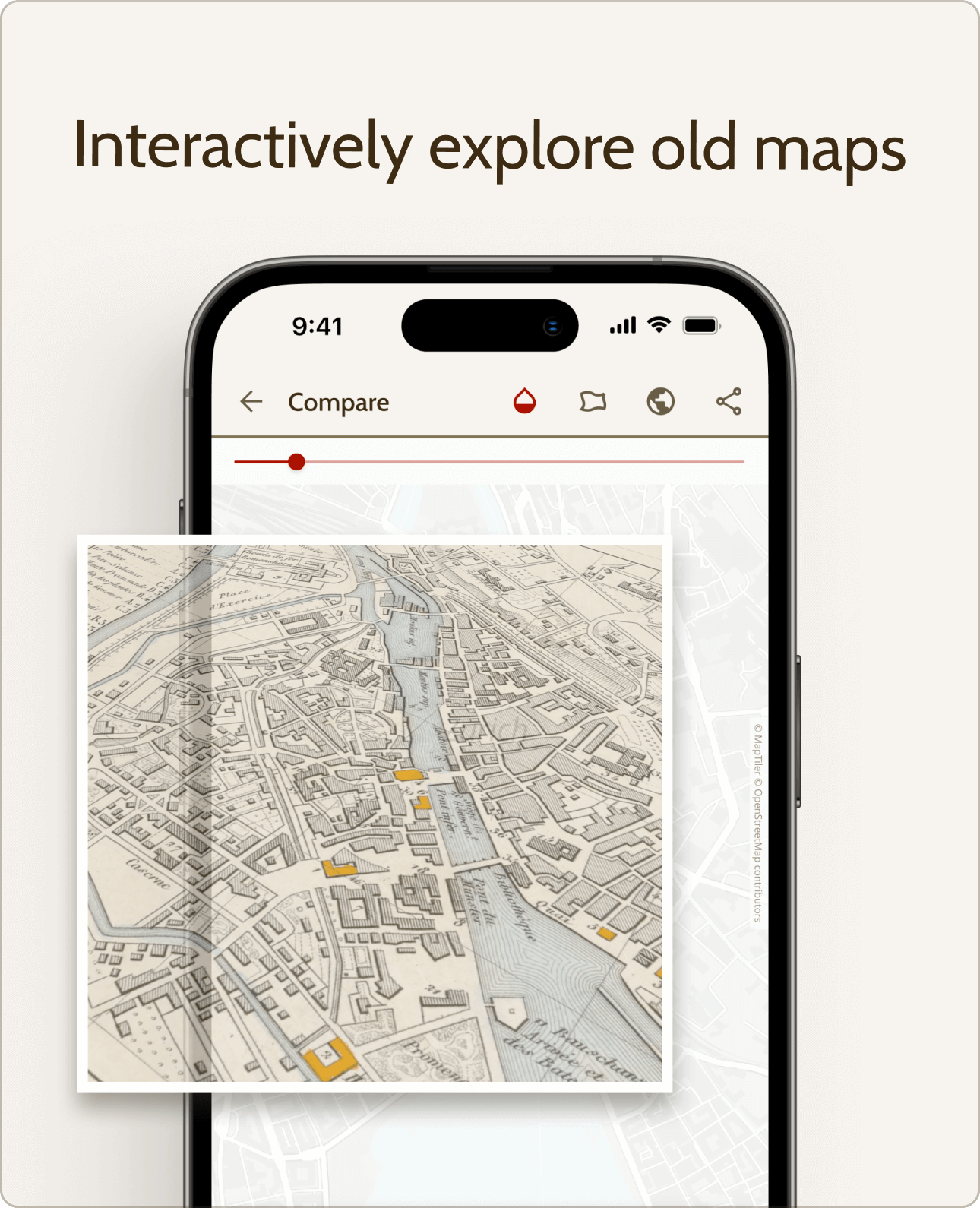
Interface Intuitive Map View

Interactive Timeline

Refine your search by specific years or historical periods using a timeline slider.

Span Centuries of data
Precision Year-by-year filtering
Benefit Contextualized history

Map Overlays

See how places changed over time by comparing historical maps with modern maps.

Tool High-Res view, Opacity slider, 3D / AR
Comparison Past vs Present
Usage Urban and landscape change

Advanced Tools for Map Discovery

OldMapsOnline provides a sophisticated suite of tools designed for deep historical exploration. From AI-driven relevance ranking to precise geographic alignment, these features bridge the gap between archival cartography and modern geospatial analysis, enabling researchers and hobbyists to see the world as it once was.

Platform Capabilities

Get started with OldMapsOnline

Opening Historical Maps to Everyone

OldMapsOnline makes historical maps accessible to everyone, allowing users to explore and view maps directly on the platform while preserving the original archival layout and context. It is a vital resource used by researchers, educators, historians, and curious explorers worldwide to uncover the stories of our world.

The OldMapsOnline Ecosystem

A shared cartographic heritage

OldMapsOnline thrives on the efforts of history enthusiasts. Through collaborative features, users help align historical maps with modern geography, expanding shared knowledge for everyone.

Bringing history into physical spaces

Example of a high-quality archival map print

High-quality archival prints

Order museum-quality prints of any map in the collection. These physical pieces allow you to display historical cartography in your home or office.

Custom framing options for historical map prints

Custom framing & hangers

Choose from a variety of framing options to match your decor style, from classic solid wood to sleek modern aluminum.

Support the project through membership

OldMapsOnline is open to everyone. Support the project to unlock additional features and help keep the platform growing.

  • Ad-free experience - explore maps without distractions
  • Feature requests - help shape future platform features
  • Unlimited advanced search - access all advanced filters without limits
  • Base map selection - choose different background maps for better context
  • Live chat support - direct assistance when you need it
  • Learn more about membership - discover all benefits and directly support the OldMapsOnline project
Support project

Dive into history

  • Interactively Explore Old Maps

    Compare historical maps to see changes over time, and use the transparency slider to easily compare with modern maps.

  • GPS Guided Walk

    Check out old maps of your location, search by name, or zoom and pan to find relevant maps instantly!

  • Augmented Reality

    Step into the past with Augmented Reality! Overlay historical maps on your surroundings for a fun, interactive experience.

Accordion Image
Interactively explore old maps

Interactively explore old maps

Compare historical maps to see changes over time, and use the transparency slider to easily compare with modern maps

GPS guided walk

GPS guided walk

Check out old maps of your location, search by name, or zoom and pan to find relevant maps instantly!

Augmented reality

Augmented reality

Step into the past with Augmented Reality! Overlay historical maps on your surroundings for a fun, interactive experience.

Available for iOS and Android

Get started

Partnering with Institutions Worldwide

OldMapsOnline collaborates with libraries, archives, and cultural institutions globally to provide access to high-quality historical map collections. By enriching archival scans with reliable metadata and institutional context, we bridge the gap between physical archives and global digital access.

Solutions for Cultural Institutions

Advanced tools for digital archiving

Our platform provides the technical infrastructure needed to transform static images into interactive spatial data. Institutions can leverage cutting-edge tools to support cataloging and seamless integration into modern research workflows.

A network of world-class partners

David Rumsey

David Rumsey Map

Stanford University's renowned collection focused on rare 18th and 19th-century North and South American maps.

Maps Hosted 80,000+
Primary Focus Americas & Global
Key Feature High-res interactive viewers
The British Library

The British Library

One of the world's most significant map collections, featuring over 4.5 million items from every corner of the globe.

Maps Hosted 70,000+
Primary Focus Global & British Empire
Key Feature Extensive georeferencing pilots
National Library of Scotland

National Library of Scotland

The premier collection for Scottish cartography, featuring detailed topographic and municipal plans.

Maps Hosted 100,000+
Primary Focus Scotland & UK
Key Feature Town plans and bathymetric charts

Trusted by Leading Institutions

Connecting history with the world

OldMapsOnline is more than a search engine; it is an educational gateway. By providing a single entry point to millions of geographic data points, we empower historians, students, and explorers to discover stories hidden in the archives.

  • Public History: Engaging local communities through crowdsourced georeferencing.
  • Academic Research: Providing standardized spatial data for complex GIS analysis.
  • Classroom Innovation: Visualizing the evolution of borders and cities through an interactive timeline.
education

Anywhere, anytime, and on any device

Touch optimized, responsive interface for all devices.

Start exploring
device